
By: Monica Adjei | October 28, 2026
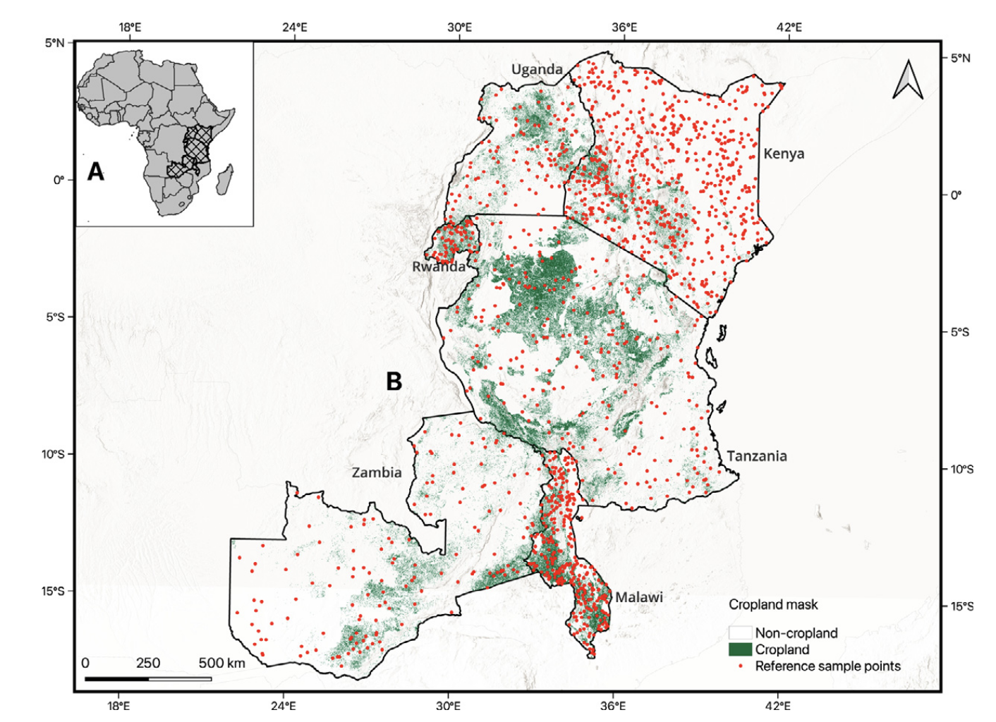
Digital Earth Africa featured Dr. Catherine Nakalembe and our PhD student, Adebowale Daniel Adebayo, in its Change Makers spotlight on a study that tackles a deceptively simple question: how much cropland does a country actually have? Reliable answers underpin every harvest forecast and food-security decision, yet in many African countries that figure is uncertain or out of date.
The study exposes a common trap. The shortcut to the question above is to count every pixel a satellite map labels “cropland” and call that the total area. But every map makes mistakes in both directions (missing real cropland, and mislabeling other land as cropland), and those errors rarely cancel out. Across six African countries, that pixel-counting was off by anywhere from −17% to +43%. That’s a difference of 9.0 vs 6.3 mha in Zambia. Their method instead returns a number with a defensible margin of error, which is real savings for a ministry on a tight budget.
Two takeaways from this spotlight. First, the real bottleneck isn’t maps; it’s good reference data, which every project collects, uses once, and throws away. And second, what she’s proudest of: African researchers, including her own student, driving the science.
Read the full spotlight on Digital Earth Africa, or the paper in the International Journal of Applied Earth Observation and Geoinformation.
