
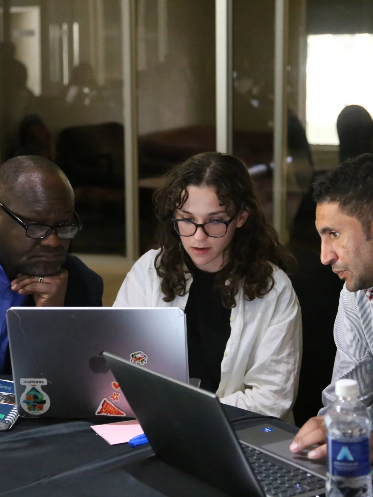
Our Research
XylemLab's projects combine cutting-edge satellite technology with local expertise to revolutionize agricultural monitoring and food security across Africa. Partnering with NASA, GEOGLAM, AGRA, Lacuna Fund, African governments, and universities, we create scalable, data-driven solutions that address real-world challenges. Together, we're transforming agricultural obstacles into opportunities for sustainable growth and resilience.
On-Going Research
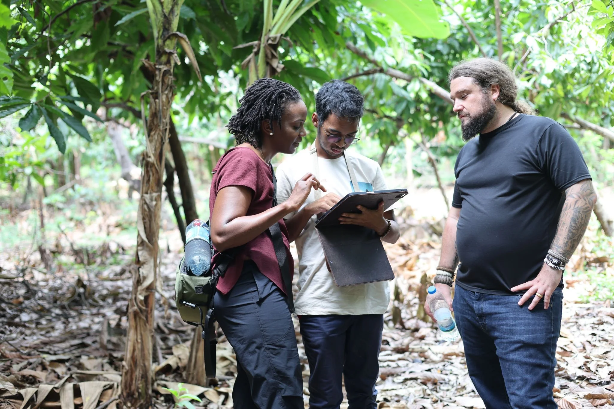
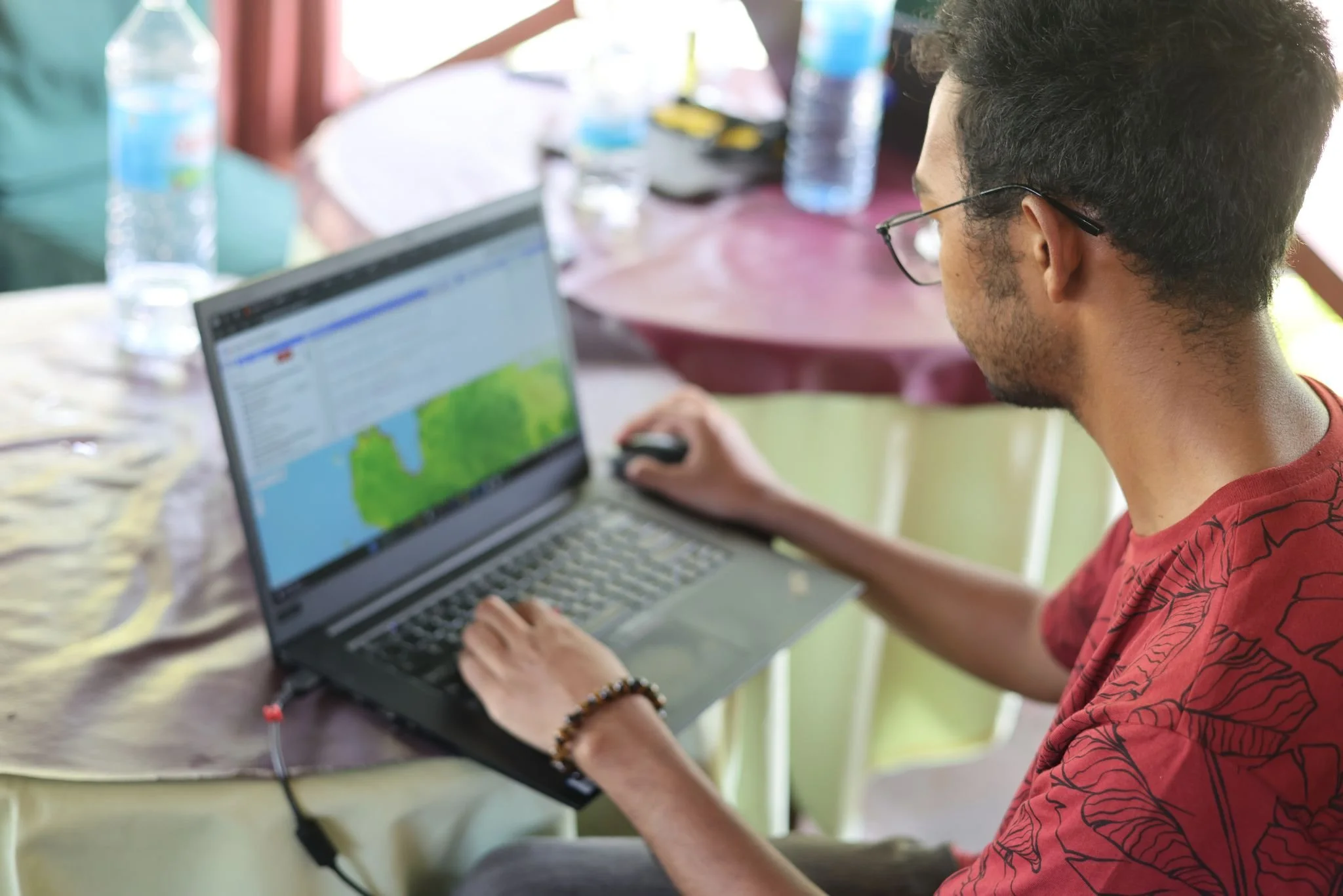
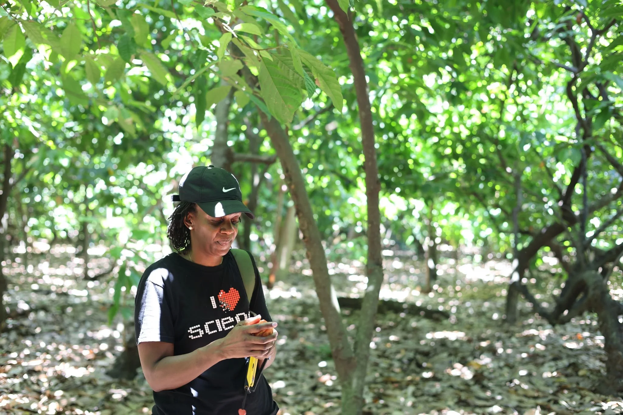
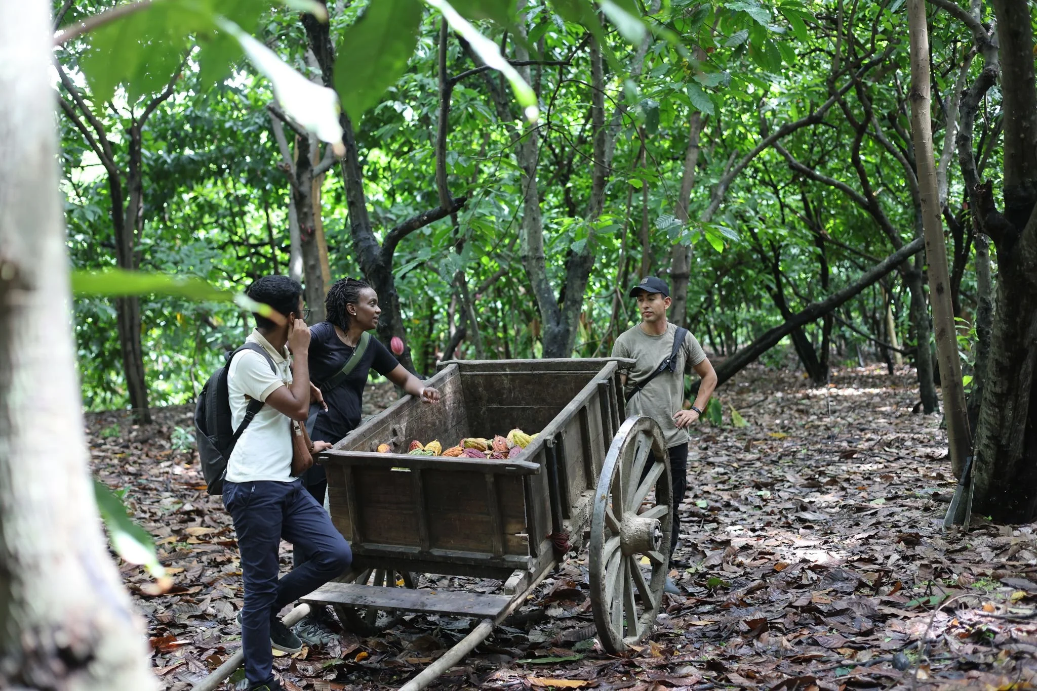
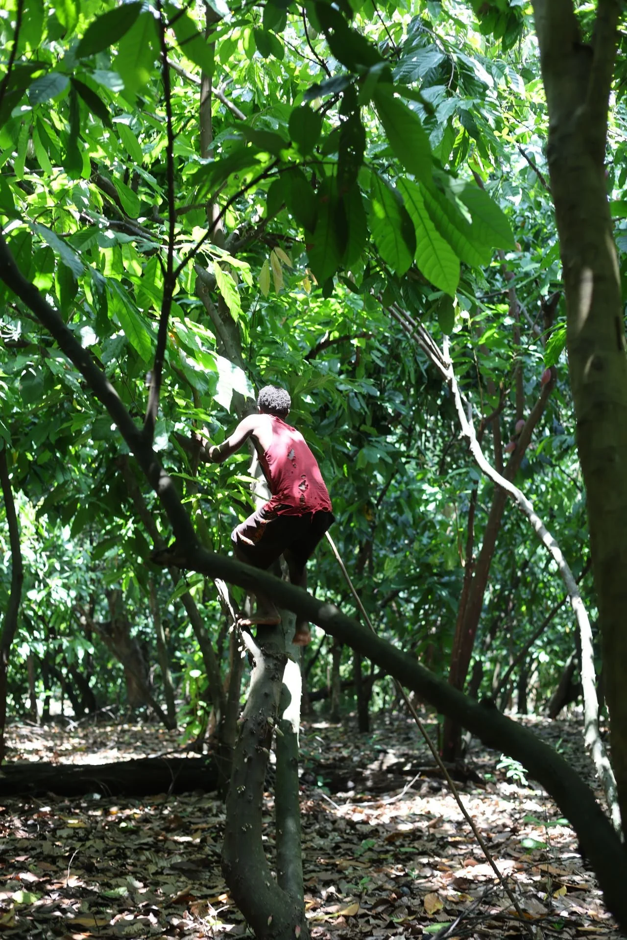
Currently 7 active projects spanning food security, climate risk, and agricultural monitoring across East Africa. Our work integrates satellite imagery, field surveys, and machine learning to generate actionable insights for farmers, governments, and aid organizations.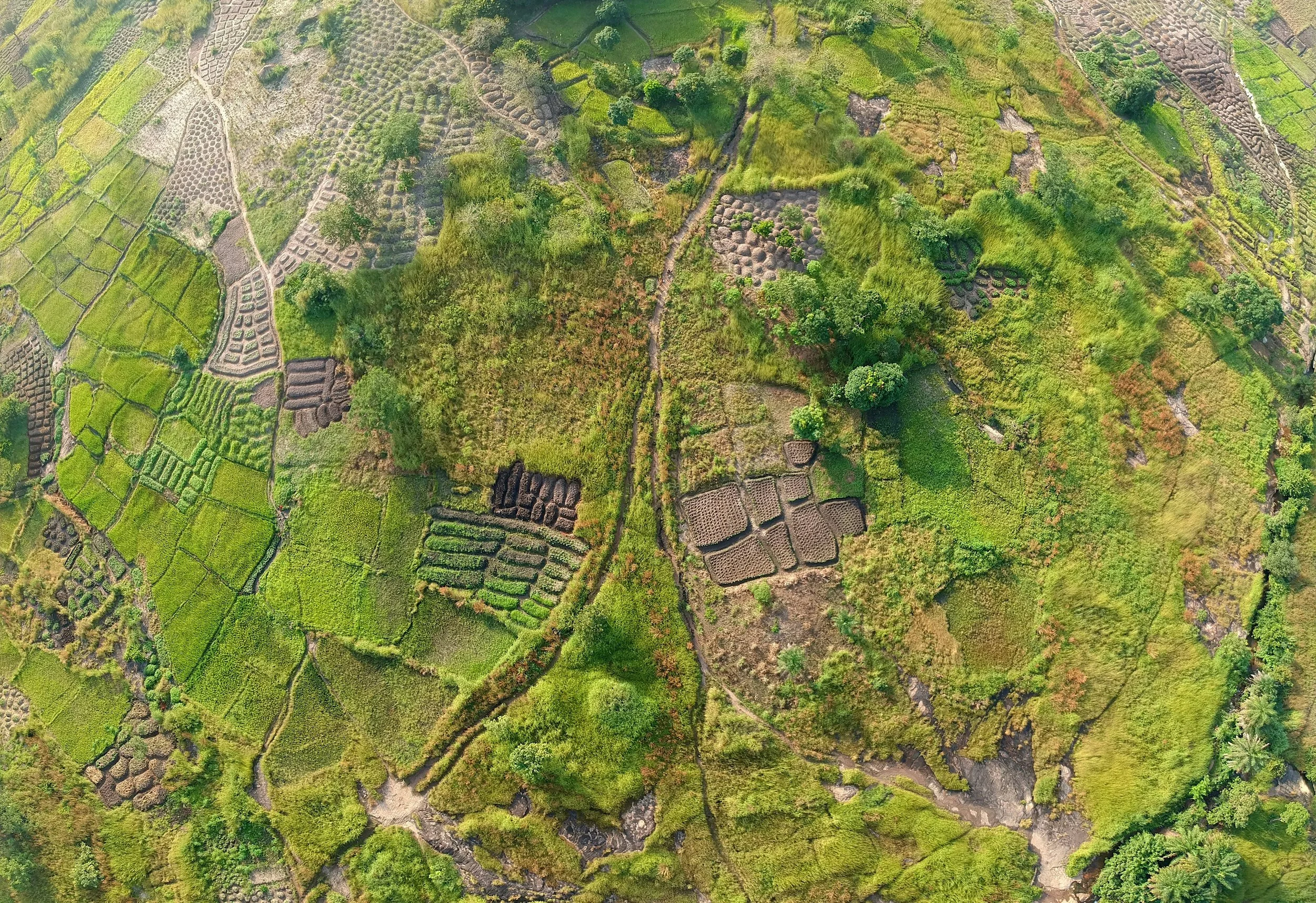
Conflict, Displacement and Landuse
Mapping land cover change in conflict-affected regions to assess displacement patterns and agricultural disruption across East Africa.

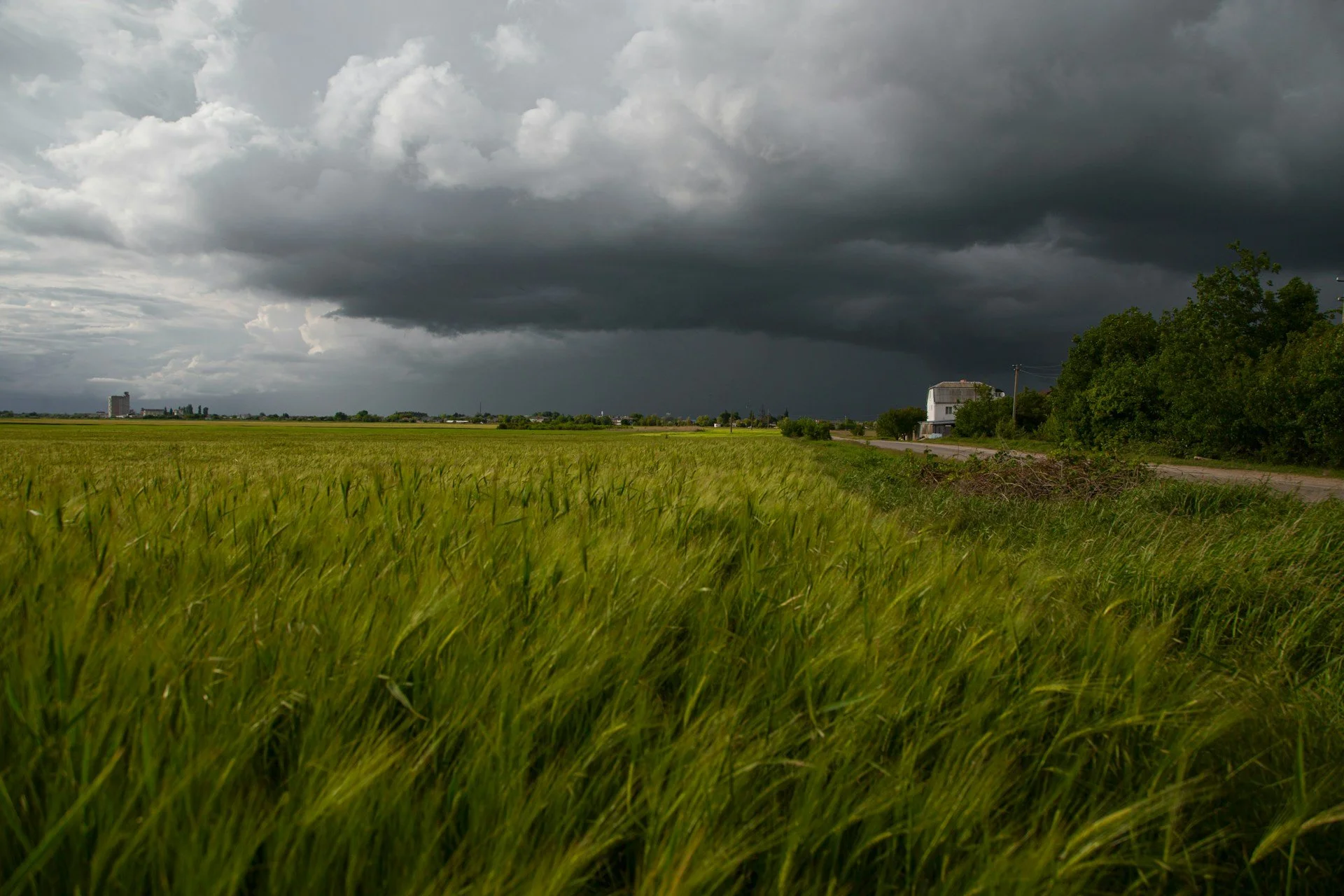
Drought Mapping and Monitoring
Tracking drought event frequency and severity across sub-Saharan Africa using satellite-derived indices and population exposure data.
Explore Project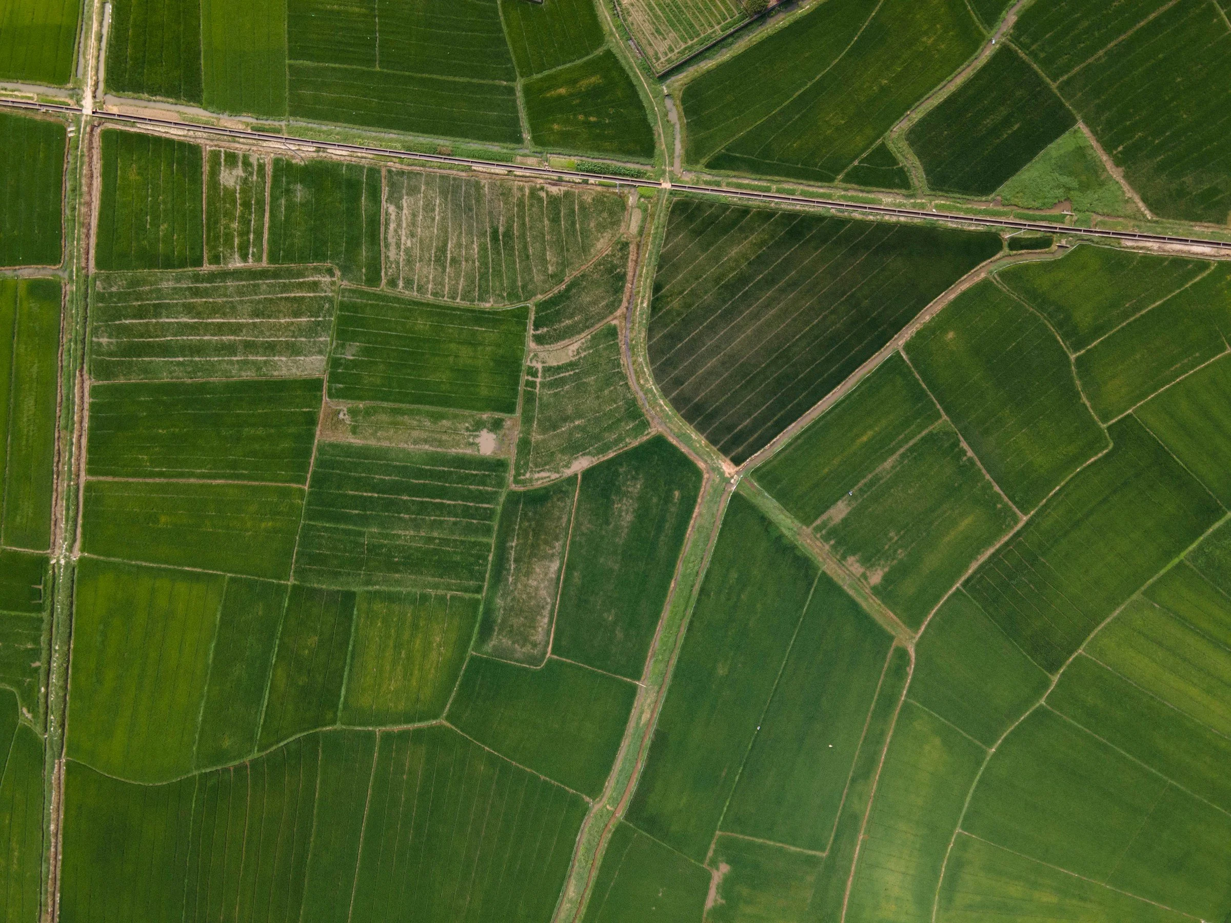
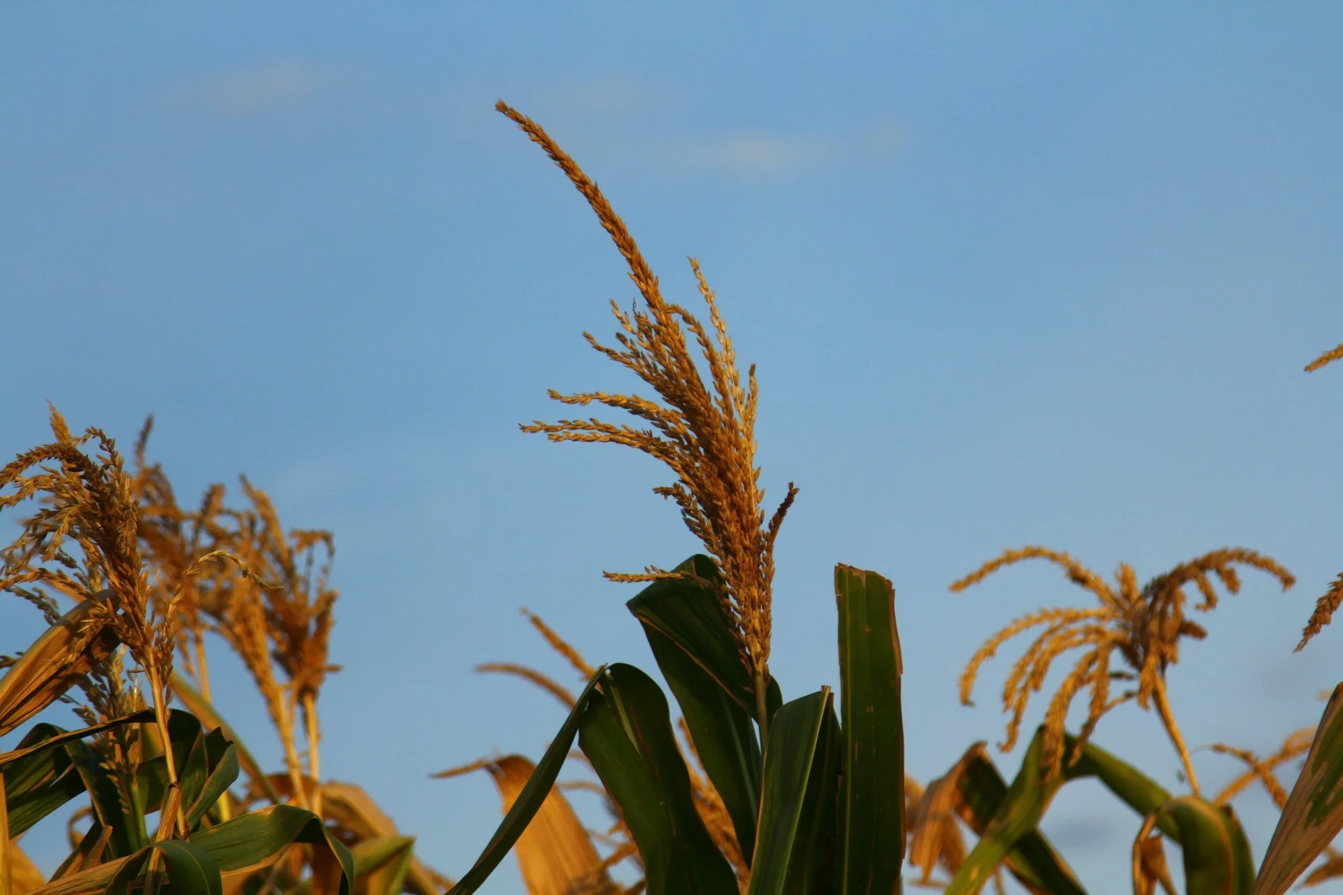
Cropland Mapping
Classifying crop and non-crop areas from multi-spectral satellite imagery to support agricultural monitoring across the continent.
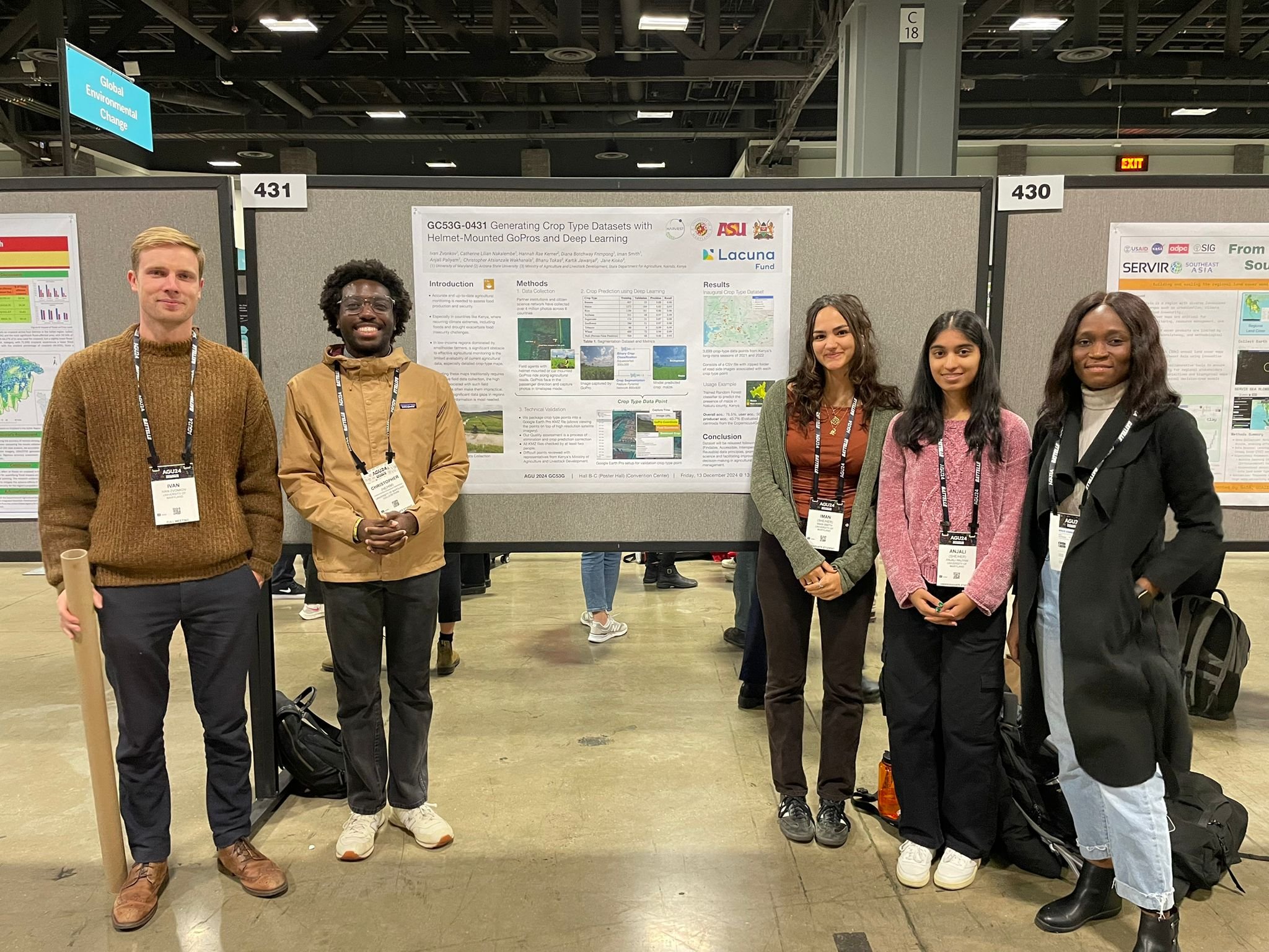
View Data HubHelmets Labeling Crops
A citizen science initiative using GoPro-equipped motorbike riders to collect field-level crop labels, enabling scalable ground truth datasets across Kenya.
Read Case Study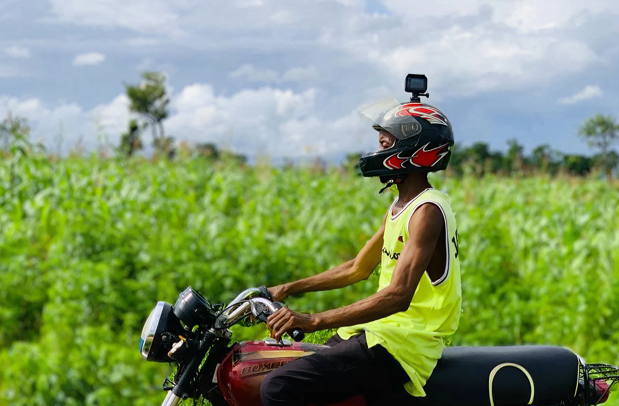
Weather Shocks on Dietary Quality
Analyzing how inter-annual climate variability drives dietary diversity outcomes in smallholder farming households.
Explore Project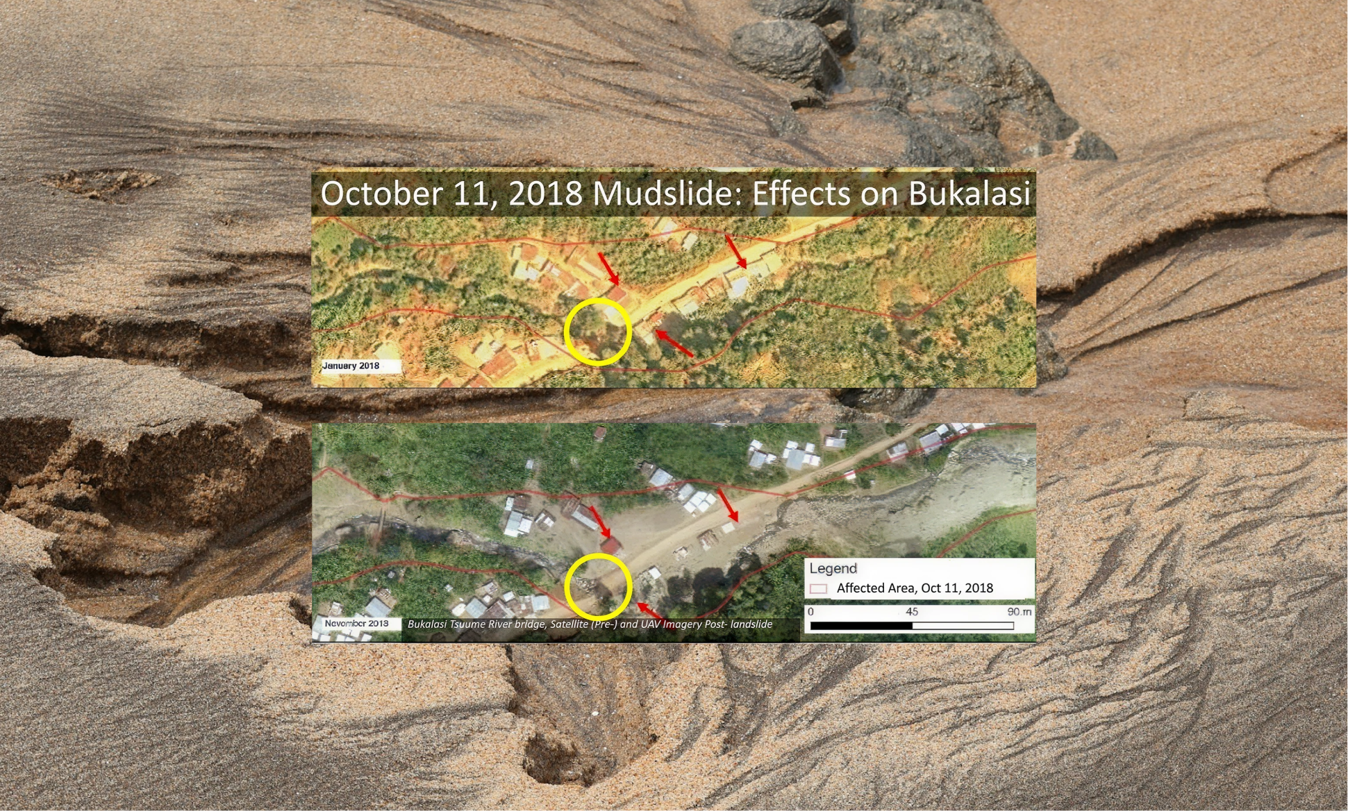
Mapping Extreme Events
Using before-and-after satellite imagery to assess infrastructure and land damage from floods, landslides, and other extreme events.
Yield and Production Estimation
Integrating remote sensing and household survey data to forecast smallholder crop yields at district and national scales.
Explore ProjectFrom the Field
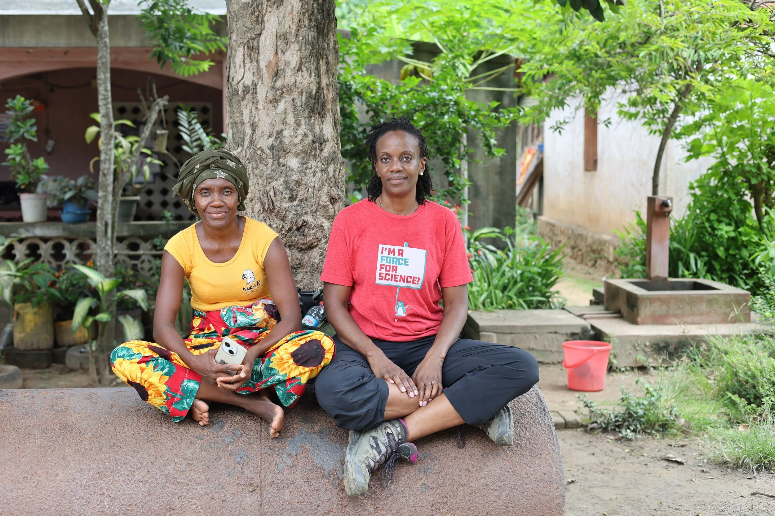
Recent Funded Projects
Securing the future of agriculture through strategic global partnerships and research grants.
Regional Food Balance Sheet
Harvest Africa
Helmets Labeling Crops
NASA SERVIR
Enabling Crop Analytics at Scale (ECAAS) - Kenya
EO-FARM SwissRe Foundation
Optimizing Crop Yield Data Collection for Supply Chain Enhancement


On-Going Research
npj Sustainable Agriculture (2025)
A framework for EO-based National Agricultural Monitoring (EO-NAM) for the African Context
Scientific Data (2025)
Helmets Labeling Crops: Kenya Crop Type Dataset Created via Helmet-Mounted Cameras and Deep Learning
PNAS (2025)
To enhance sustainable development goal research, open up commercial satellite image archives
Research Square · Preprint (2024)
A Framework for EO-Based National Agricultural Monitoring (EO-NAM) — For the African Context
Perspectives of Earth and Space Scientists (2024)
Whose priorities? Examining inequities in Earth observation advancements across Africa
Frontiers in Climate (2025)
A 40-year remote sensing analysis of spatiotemporal temperature and rainfall patterns in Senegal
Nature Reviews Earth & Environment (2024)
Assessing and addressing the global state of food production data scarcity
Scientific Data (2024)
How accurate are existing land cover maps for agriculture in Sub-Saharan Africa?
Science of Remote Sensing (2024)